Alongside my freelance work, I've worked on other projects. These were usually not as part of paid work, but are part of what has made me reasonably 'well-known' in the geospatial world. Click the links in the title to go to the project page. See my experience page for my freelance work projects.
Free GIS Data site
This website lists over 500 sources of freely-available geospatial data. All sources are categorised into categories like Population, Weather and Climate and Land Use, as well categories as individual countries. I originally created it during my PhD when I was struggling to find data sources, and have expanded and maintained it over the years. It is viewed by thousands of people a week.

British Placename Mapper
This web app lets you search for parts of the names of places in Great Britain, such as places starting with great, or ending with burgh and plot them on an interactive map. Fascinating patterns can emerge, a lot of which are based around names deriving from the languages of various invaders of Great Britain over the years (Vikings, Romans, Normans etc). This site went a bit viral on social media in April 2024, and was also featured on various sites and newsletters. A follow-up blog post shows some of the interesting maps people have created using the app.

Aerial Image Search Demo
This web app lets you search an aerial image of Southampton, UK using text queries like roundabout, tennis courts or ship. It demonstrates the use of multi-modal vector embeddings based on the SkyCLIP model. More information is available in a blog post.

Py6S
Py6S is a Python interface to the 6S atmospheric radiative transfer model. It allows you to configure 6S using simple Python code rather than writing an inscrutible configuration file, and also has built-in functionality to read data from various useful data sources and produce output plots. This module was created during my PhD and is currently in maintenance mode (unless I receive funding to develop any new features). The Py6S paper has been cited over 160 times.

John Snow cholera map data
In 1845, Dr John Snow plotted cases of cholera in London on a map and identified the source of the outbreak as a contaminated water pump. This is widely considered to be one of the first 'GIS' analyses. In 2013 I digitised the data from John Snow's original map, and made it available in modern GIS formats. This allows it to be analysed in modern software, and overlaid on modern maps. It has since been used widely in teaching and GIS demonstrations.

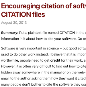
CITATION files
In 2013 I came up with the idea of including a CITATION file in the root of a code repository giving information on how to cite the software, in a similar way to README and LICENSE files. This was picked up by the Software Sustainability Institute, and later other SSI fellows proposed a specific format for a CITATION file, and this is now documented as the Citation File Format and officially supported by GitHub.
Academic papers
I studied for a PhD at the University of Southampton and then worked as an academic for a few years. My academic papers have had over 600 citations in total, with my highest cited papers being Py6S: A Python interface to the 6S radiative transfer model and Rapid and Near Real-Time Assessments of Population Displacement Using Mobile Phone Data Following Disasters: The 2015 Nepal Earthquake.

Academic theses and university work
During my university career I wrote multiple award-winning theses (undergraduate, MSc and PhD) as well as various pieces of coursework which received high marks. These are available to download as examples of good academic work.

Other open-source software
I have published a range of other open-source software, which can be found on Github. Highlights include DateRangeParser, PyAURN, PyMicrotops and PandasToPowerpoint.
